Satellite Imagery Feature Detection to create a Wind Turbine Register
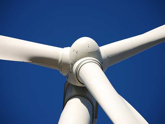
As a climate-friendly way of generating electricity, renewable energies are becoming increasingly important in political, economic and social terms. As a pioneer in the fight against global climate change, Germany is investing in renewable energies, especially wind energy. Between 2016 and 2017, around 300 new wind turbines were built in North Rhine Westphalia, making it one of the leading federal states in the construction of new wind turbines. The aim of the project was to support the federal ministry of North Rhine Westphalia in generating regional registers including the location and type of turbines. This information can be used by local energy producers for the spatial planning process of new plants.
The satellite images used come from the Esri World Imagery database and consist of 280,000 individual image tiles, each covering an area of 1 km². Also, they contain the corresponding geographical metadata. From this, a training data set with 500 images and a validation data set with 200 images were selected, which cover approximately 200 wind turbines of different types and visibility. Polygons of the wind turbines were created for both groups to train the model.
The images first had to be pre-processed and normalised. The creation of the training data had to be carried out with a lot of manual effort. The turbines were marked manually in the tool ArcGIS Pro (Esris Professional GIS Tool) as georeferenced polygons. The algorithm was then trained with image masks generated from those polygons. The used deep learning model is based on the U-Net architecture, which has proven itself for segmentation tasks with low training data volumes. The model was further calibrated until the best possible prediction accuracy for the data set was achieved. The last layer of the neural network outputs an image mask with a pixel-by-pixel prediction of the probability whether a pixel belongs to a wind turbine.
With the developed Deep Learning model, a register with around 3,300 identified wind turbines was successfully created for North Rhine Westphalia. This register was also captured as a layer in ArcGIS Pro and is now available as map material in the software. In the next step, the model can be transferred to other states or even used for a worldwide wind turbine register.