The automatic labeling of point clouds from highway scans
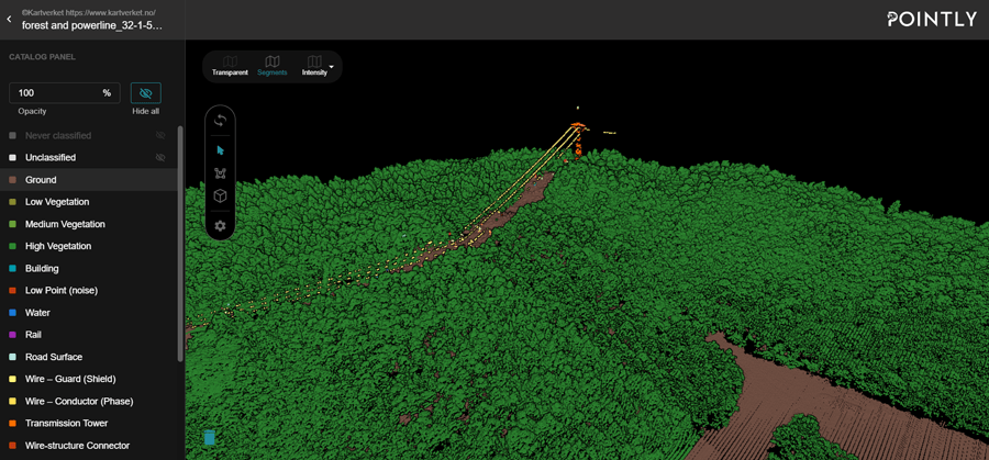
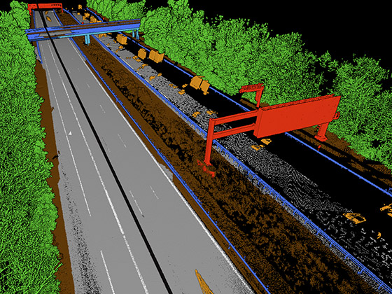
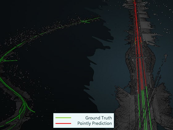
Various industries can benefit from using AI to classify laser scan point clouds into different object classes. One of them is the road and highway sector, e.g. in this Use Case the Bavarian State Construction Administration regularly carries out surveys of the Bavarian road networks. When surveying kilometres of highways, huge amounts of data are produced which need to be analyzed to extract relevant information. Once analyzed they can serve the process of planning, construction, and operation of road infrastructure. To reduce the manual processing efforts and automate the analysis of the scanned roads the Bavarian State Construction Administration contracted Pointly.
Other Use Cases in this category
The automated generation of CAD models from 3D highway Use Case lesen
The automatic detection of different trucks in orthophotos with Use Case lesen
The automated conduction of a forest inventory Use Case lesen
