Mapping bark beetle infestation on aerial imagery
Bark beetle infestation has destroyed large parts of Germany's forests and caused damage running into millions for the forestry and timber industry. We trained a neural network that detects and maps dead trees on aerial imagery automatically – with 98.6% recall against the training labels on the test images.
The situation
To slow the spread of the bark beetle, infested stands have to be found before the beetles move on. Mapping and monitoring are the precondition for any countermeasure.
At the scale of the areas affected, doing that manually is not feasible. And timing is decisive: a survey completed one season too late documents damage instead of preventing it.
The data
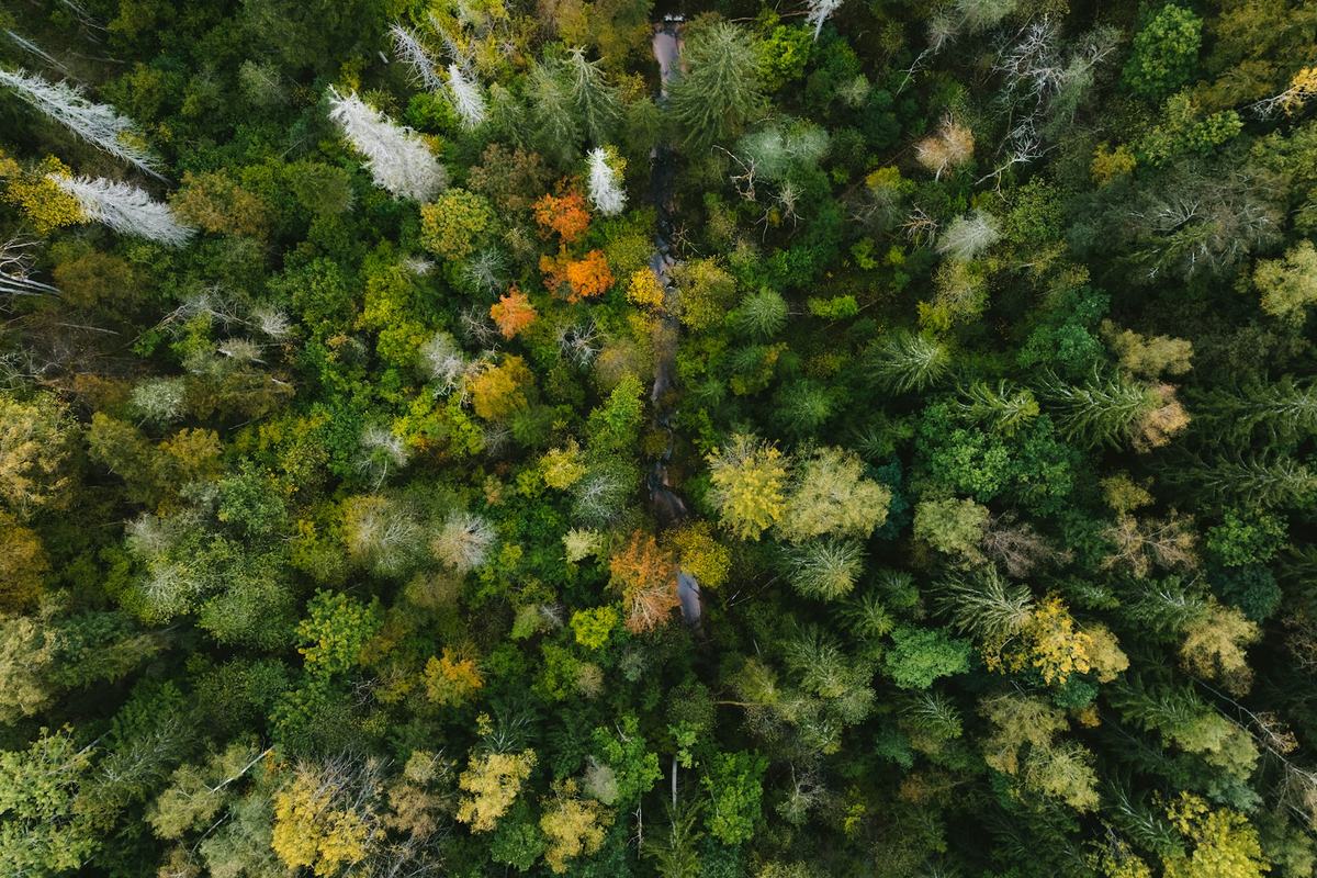
Aerial imagery of a forest area in the Harz covering roughly 25 hectares. The images are geocoded, come as RGBI captures, and have a spatial resolution of 0.2 metres.
Training data was generated on part of the area by labelling dead trees. The resulting model was then applied to the whole area – an approach that confines annotation effort to a fraction of the surface.
Challenges
The green attack stage is invisible on RGB. Bark beetle infestation progresses in stages. In the initial green attack stage, infested trees cannot be clearly distinguished from healthy ones on RGB imagery – precisely when a countermeasure would be most effective. The model reliably detects dead trees; early detection is methodologically out of reach with this data.
Volume of training data. For optimal results, model training requires a large amount of annotated forest area.
Missing historical data. Imagery of the same area from earlier years was not available. It could have shown where the infestation began and how it spread – the information from which propagation patterns are derived.
Approach
A neural network with a Fast R-CNN architecture. An object detection model of this architecture was used to detect dead trees.
Annotation and training in one environment. Training data was created using the features of ArcGIS Pro; the Python module arcgis.learn served for data preparation, model training and processing. The advantage of this setup: annotation, training and spatial analysis sit in the same environment, with no data exports between tools.
Results as spatial analysis, not a list of numbers. Heatmaps in ArcGIS Pro make infestation hotspots immediately visible, and spread across several years is easy to visualise – the form in which a forestry operation can actually use such an analysis.
Outcome
The trained model achieved 98.6% recall against the training labels on the test images. Large forest areas can therefore be analysed quickly and reliably, supporting the monitoring of forest condition.
The model is optimised for the specific forest and imagery. For a generalising model, training data from other forest areas can be added; alternatively the same pipeline can be used to train area-specific models. That is where the value of the approach lies: the result is not the individual model but a reusable pipeline.
Transferability
Object detection on high-resolution aerial imagery with spatial analysis downstream reaches well beyond the bark beetle: tree species mapping, storm damage assessment, vitality monitoring, area-wide infrastructure inventory.
Today
This project's decisive weakness can be addressed today. For early detection at the green attack stage, RGB data is the wrong instrument – multispectral sensors with a red-edge channel, and thermal imagery, reveal loss of vitality before it appears in the visible range. The historical material missing at the time is now available too: Sentinel-2 archives allow time series to be reconstructed several years back, making onset and direction of spread analysable retrospectively. In detection itself, more modern detector architectures replace Fast R-CNN, and annotation can be accelerated substantially by pre-segmenting models. We would now set up processing cloud-natively – Cloud-Optimized GeoTIFF with STAC cataloguing – which is what makes the jump from 25 hectares to an entire forestry operation practical. And the scaling approach would differ: drone or aerial survey for accuracy, satellite time series for extent.
Last updated: 30 July 2026