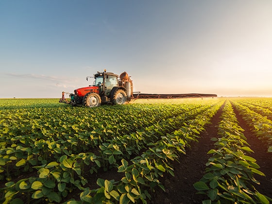
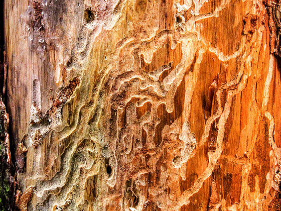
Crop Damage Detection
a Supper & Supper Use Case

Category
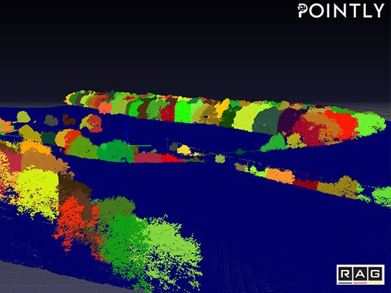
→ GEO AI
→ COMPUTATIONAL LIFESCIENCE
→ Spatial temporal Analysis
→ Computer Vision
Technologies
Image segmentation
Support Vector Classifier
a Supper & Supper Use Case
→ GEO AI
→ COMPUTATIONAL LIFESCIENCE
→ Spatial temporal Analysis
→ Computer Vision
Image segmentation
Support Vector Classifier

This Project is supported by the Federal Ministry for Economic Affairs and Climate Action (BMWK) on the basis of a decision by the German Bundestag.
You are currently viewing a placeholder content from Vimeo. To access the actual content, click the button below. Please note that doing so will share data with third-party providers.
More InformationYou are currently viewing a placeholder content from YouTube. To access the actual content, click the button below. Please note that doing so will share data with third-party providers.
More InformationYou need to load content from reCAPTCHA to submit the form. Please note that doing so will share data with third-party providers.
More InformationYou are currently viewing a placeholder content from OpenStreetMap. To access the actual content, click the button below. Please note that doing so will share data with third-party providers.
More InformationYou are currently viewing a placeholder content from Facebook. To access the actual content, click the button below. Please note that doing so will share data with third-party providers.
More InformationYou are currently viewing a placeholder content from Instagram. To access the actual content, click the button below. Please note that doing so will share data with third-party providers.
More InformationYou are currently viewing a placeholder content from X. To access the actual content, click the button below. Please note that doing so will share data with third-party providers.
More Information